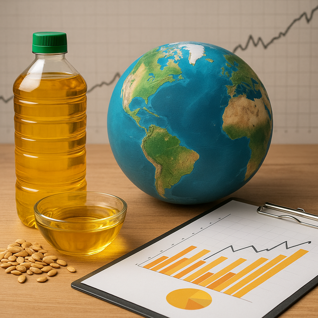
The adoption of satellite technology is revolutionizing the agricultural sector by providing farmers, agribusinesses, and policymakers with unparalleled insights into crop performance, resource management, and market dynamics. This transformation is not merely a technological upgrade; it represents a paradigm shift toward more efficient, data-driven, and sustainable farming on a truly **global market** scale.
Technology and Methods in Satellite Farming Analytics
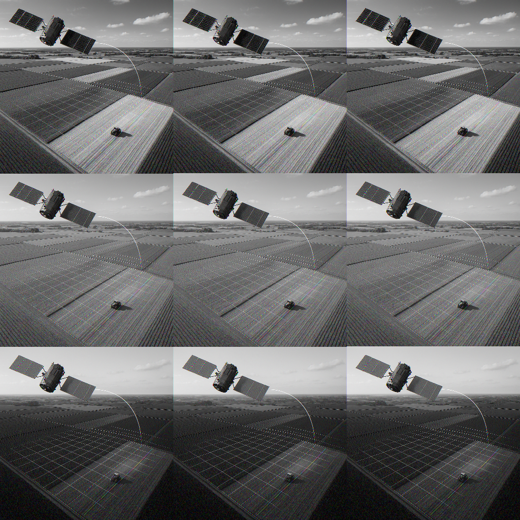
Satellite systems employ a variety of sensors to capture high-resolution imagery and multispectral data. These data streams are then processed through advanced data analytics platforms to deliver actionable intelligence. Key technologies include:
- Remote sensing platforms that detect electromagnetic radiation reflected from crop canopies, revealing plant vigor and stress levels.
- Microwave and radar sensors capable of penetrating cloud cover to maintain consistent monitoring during adverse weather conditions.
- Thermal imaging that measures canopy temperature, offering clues about water stress and irrigation needs.
Integration with IoT devices on the ground—such as soil moisture probes and weather stations—enhances the accuracy of satellite observations. Geospatial information systems (GIS) further synthesize these inputs, enabling precise mapping of field variability. In turn, precision agriculture practitioners leverage this intelligence to optimize planting patterns, fertilizer application, and irrigation schedules.
Applications and Benefits for Farmers
By harnessing satellite-derived insights, farmers achieve substantial gains in productivity, cost savings, and environmental stewardship. Notable applications include:
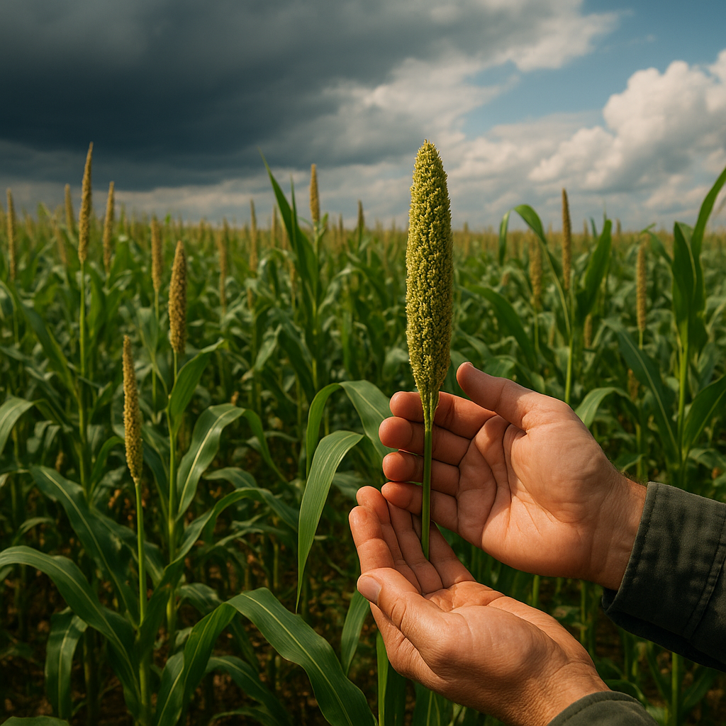
- Crop health monitoring: Vegetation indices like NDVI (Normalized Difference Vegetation Index) pinpoint areas of poor growth or pest infestation before symptoms become visible.
- Yield prediction: Historical imagery combined with machine learning models forecasts yield outcomes with impressive accuracy, guiding marketing and logistics decisions.
- Variable rate technology (VRT): Farmers apply inputs at the right time and place, reducing waste and input costs.
- Sustainability assessment: Satellite data supports carbon footprint calculations and water usage audits, promoting compliance with environmental standards.
These advantages are magnified when satellite analytics is scaled across multiple regions, empowering cooperatives and agribusinesses to benchmark performance and identify best practices. Moreover, governments and international agencies utilize aggregated data sets to monitor food security, support disaster response, and track progress toward climate goals.
Market Dynamics and Growth Drivers
The intersection of geospatial intelligence and agriculture is fueling a dynamic segment within the broader global market. Key drivers include:
- Declining satellite launch costs, thanks to miniaturization and reusable launch vehicles, making Earth observation more accessible.
- Advancements in cloud computing and artificial intelligence, which accelerate the processing of terabytes of imagery and sensor data.
- Emerging partnerships between space agencies, technology providers, and agritech startups, fostering innovation ecosystems.
- Regulatory support for precision agriculture under environmental and food security frameworks.
These factors converge to lower barriers to entry and stimulate the development of specialized services. For example, subscription models now offer smallholder farmers affordable access to near real-time insights, leveling the playing field and promoting inclusive growth.
Challenges and Future Directions
Despite its promise, satellite-enabled farming analytics faces several challenges:
- Data integration: Harmonizing disparate data sources from satellites, drones, and ground sensors requires robust interoperability standards.
- Spatial resolution trade-offs: Higher-resolution imagery demands increased data storage and processing power, potentially limiting scalability.
- Technical literacy: Farmers must acquire new skills or rely on intermediaries to translate complex analytics into practical decisions.
- Privacy and sovereignty concerns: Cross-border data sharing can raise issues around ownership and ethical use of geospatial information.
Looking ahead, the industry is poised to benefit from next-generation constellations offering daily or even sub-daily revisit rates. Enhanced spectral bands will improve detection of specific crop diseases and soil properties. Furthermore, coupling satellite data with genomic, metabolomic, and supply chain information promises a holistic approach to farm management, unlocking the potential for truly resilient agriculture.
Case Studies and Implementation Strategies
Real-world deployments illustrate the transformative power of satellite analytics:
- A major grain cooperative in North America reduced fertilizer costs by 20% through targeted nutrient management guided by multispectral imaging.
- An African government agency leveraged satellite-derived drought indicators to pre-position relief supplies, averting a humanitarian crisis.
- Vineyards in Europe adopted thermal mapping to optimize water usage, boosting yield quality and reducing water consumption by 30%.
Successful implementation hinges on clear communication among stakeholders, capacity building for end users, and adoption of open data standards. By fostering collaboration among agronomists, data scientists, and satellite operators, the sector can overcome existing barriers and accelerate the transition toward high-tech, sustainable food systems.