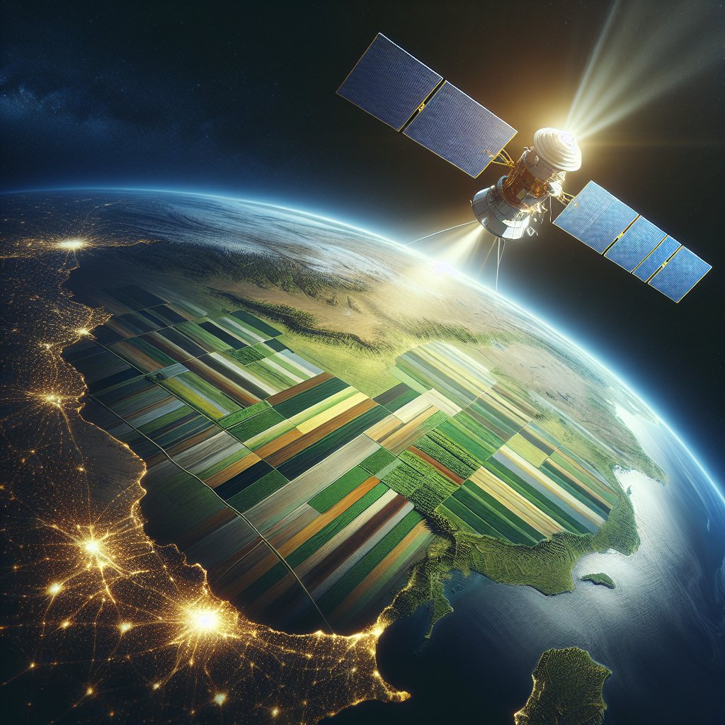
The role of satellites in monitoring global agricultural trends has become increasingly significant in recent years, as the need for sustainable food production and efficient resource management intensifies. With the world population projected to reach nearly 10 billion by 2050, the agricultural sector faces unprecedented challenges. Satellite technology offers innovative solutions to monitor crop health, assess land use, and predict agricultural yields, thereby enabling farmers and policymakers to make informed decisions. This article explores the various applications of satellite technology in agriculture, its benefits, and the challenges that lie ahead.
Understanding Satellite Technology in Agriculture
Satellite technology encompasses a range of tools and systems that utilize satellites orbiting the Earth to collect data about the planet’s surface. In agriculture, this technology is primarily used for remote sensing, which involves gathering information about crops, soil, and environmental conditions without direct contact. Remote sensing satellites are equipped with various sensors that capture data across different wavelengths of light, allowing for detailed analysis of agricultural landscapes.
Types of Satellite Data Used in Agriculture
There are several types of satellite data that are particularly useful in agricultural monitoring:
- Optical Imagery: This type of data captures visible light and is used to assess crop health, monitor growth stages, and identify pest infestations. Optical imagery can provide detailed images of fields, allowing farmers to visualize their crops’ conditions.
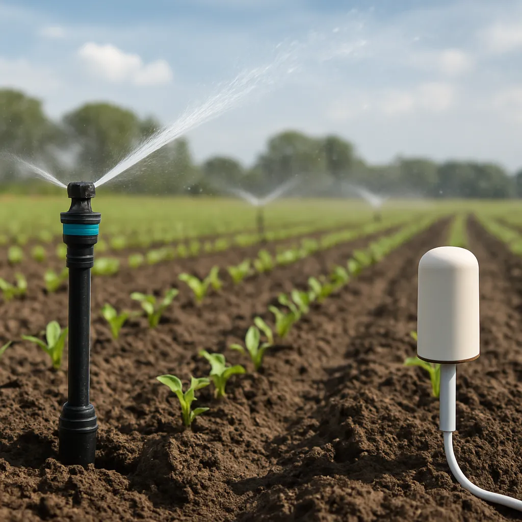
- Infrared Imagery: Infrared sensors detect heat and moisture levels in crops, which are crucial for understanding plant health and water stress. This data helps in irrigation management and optimizing water usage.
- Radar Data: Synthetic Aperture Radar (SAR) can penetrate cloud cover and provide information about soil moisture, crop structure, and land use changes. This is particularly useful in regions with frequent cloud cover.
- Multispectral and Hyperspectral Imaging: These advanced imaging techniques capture data across multiple wavelengths, allowing for detailed analysis of plant health, nutrient deficiencies, and soil conditions.
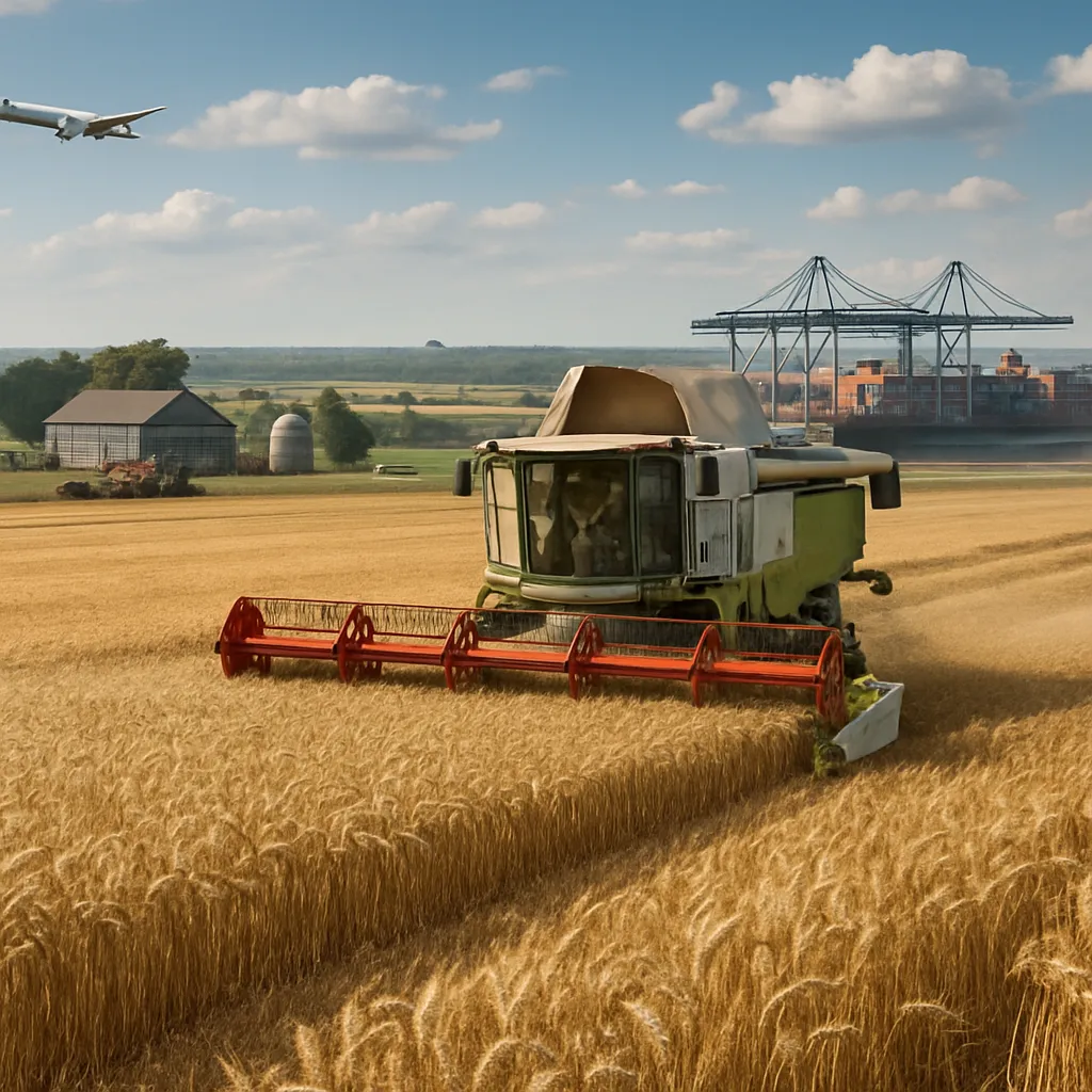
Applications of Satellite Technology in Agriculture
Satellite technology has a wide range of applications in agriculture, enhancing productivity and sustainability. Some of the key applications include:
- Crop Monitoring: Satellites provide real-time data on crop health, enabling farmers to detect issues early and take corrective actions. This includes identifying areas affected by drought, disease, or pests.
- Yield Prediction: By analyzing historical data and current crop conditions, satellite technology can help predict agricultural yields. This information is vital for planning and resource allocation.
- Precision Agriculture: Satellite data supports precision agriculture practices, allowing farmers to apply fertilizers, pesticides, and water more efficiently. This reduces waste and minimizes environmental impact.
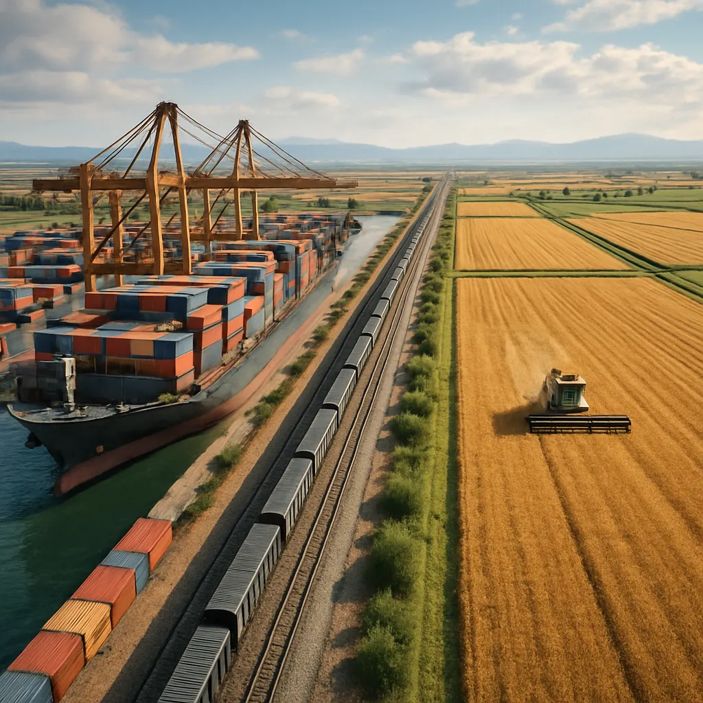
- Land Use Planning: Satellites help monitor land use changes, enabling better planning for agricultural expansion and conservation efforts. This is crucial for balancing food production with environmental sustainability.
Benefits of Satellite Monitoring in Agriculture
The integration of satellite technology into agricultural practices offers numerous benefits that contribute to more efficient and sustainable farming. Some of the most significant advantages include:
Enhanced Decision-Making
Access to accurate and timely data allows farmers and agricultural managers to make informed decisions. By understanding crop conditions and environmental factors, they can optimize inputs and improve overall productivity.
Increased Efficiency
Satellite monitoring enables farmers to apply resources more efficiently, reducing waste and lowering costs. For instance, targeted irrigation based on satellite data can conserve water and improve crop yields.
Environmental Sustainability
By promoting precision agriculture and efficient resource management, satellite technology contributes to environmental sustainability. It helps minimize the use of chemicals and fertilizers, reducing their impact on ecosystems.
Disaster Management
Satellites play a crucial role in disaster management by providing early warning systems for natural disasters such as floods, droughts, and hurricanes. This information is vital for farmers to prepare and mitigate potential losses.
Challenges and Limitations
Data Accessibility and Cost
While satellite data is increasingly available, access can still be limited by cost and technical expertise. Smallholder farmers, in particular, may struggle to afford the necessary technology and training to utilize satellite data effectively.
Data Interpretation
Interpre