Advancements in remote sensing and data processing have transformed the way the global agricultural sector assesses crop health, optimizes resource allocation, and responds to environmental pressures. By harnessing the power of satellite imagery, stakeholders across the food supply chain gain timely insights, driving efficiencies and reducing risks in an increasingly competitive market. This article explores the technology behind satellite-based crop monitoring, its applications in modern agriculture, and the economic dynamics shaping its widespread adoption.
Technological Foundations of Satellite Crop Monitoring
High-resolution satellite platforms orbit the Earth, capturing multispectral and hyperspectral data that reveal critical information about plant health and soil conditions. Key technological components include:
- Sensor capabilities: From visible and near-infrared bands to thermal imaging, satellite sensors detect variations in plant reflectance, enabling the calculation of vegetation indices like NDVI (Normalized Difference Vegetation Index).
- Data transmission: Real-time downlinks and cloud-based storage ensure rapid delivery of imagery to analytical platforms.
- Machine learning algorithms: Advanced analytics fuse historical and current data sets, automating anomaly detection and trend forecasting.
- Platform convergence: Integration with unmanned aerial vehicles (UAVs) and ground-based IoT sensors refines spatial resolution and validation accuracy.
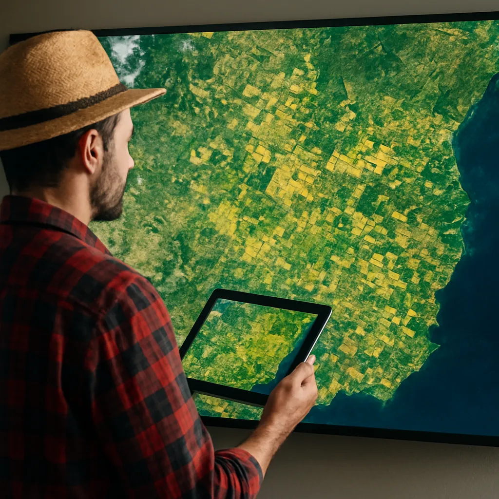
Emergence of CubeSats and Small Satellites
Small satellite constellations, often called CubeSats, offer more frequent revisits and lower launch costs. Companies deploying these microsatellites focus on:
- Enhanced temporal resolution: Multiple daily passes improve monitoring of rapidly evolving stress events.
- Scalability: Cost-effective deployment allows coverage expansion over key agricultural regions.
- Customization: Specialized sensors tuned for moisture, chlorophyll content, or thermal anomalies.
Applications in Precision Agriculture and Yield Optimization
Effective crop monitoring extends beyond mere observation; it underpins actionable insights that bolster precision farming practices. Key use cases include:
Early Stress and Drought Detection
By analyzing thermal bands and water index metrics, satellites can pinpoint zones experiencing water deficit or heat stress long before visual symptoms appear. This early warning allows farmers to:
- Adjust irrigation schedules and nutrient application.
- Implement protective measures, such as shade nets or anti-transpirants.
- Reduce water waste and improve overall sustainability of operations.
Yield Prediction and Decision Support
Tracking phenological stages—germination, flowering, and maturity—through time-series imagery lets agronomists model expected yields. Combined with weather forecasts and soil data, these predictions inform:
- Strategic planning for harvest timing and logistics.
- Dynamic pricing strategies in commodity markets.
- Allocation of labor and machinery to minimize bottlenecks.
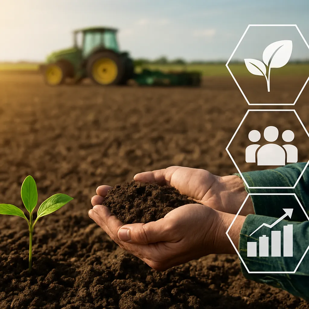
Soil and Nutrient Management
Satellite-derived soil moisture indices identify nutrient leaching and compaction zones. This information enables variable-rate fertilization, reducing excess input costs and environmental runoff. Field managers can create prescription maps for:
- Localized fertilizer application.
- Tillage adjustments to improve root penetration.
- Cover crop deployment in vulnerable parcels.
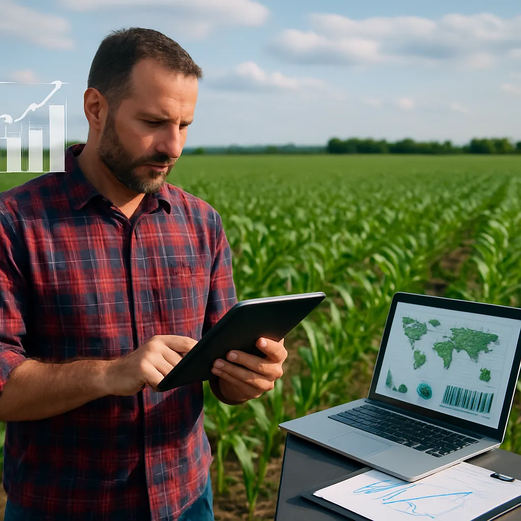
Global Market Dynamics and Economic Impact
The integration of satellite monitoring into the global agricultural value chain has far-reaching economic implications. Growth drivers include:
- Rising demand for data-driven farm management solutions among mid-size and large-scale producers.
- Government subsidies and public-private partnerships promoting innovation in agri-tech.
- Investment funds targeting sustainable agriculture and climate-smart technologies.
Commercial Service Models
Agri-tech companies offer subscription-based platforms that deliver:
- Automated monitoring dashboards accessible via web and mobile apps.
- Custom alerts tailored to crop type and regional risk profiles.
- Integration with farm management information systems (FMIS) for seamless data flow.
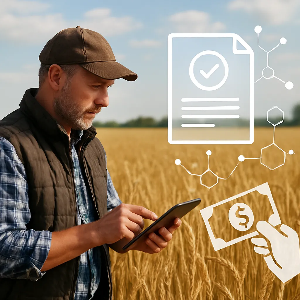
Risk Management and Insurance
Livestock and crop insurers utilize satellite data to underwrite policies and process claims more reliably. Parameter-based insurance products leverage:
- Objective indices of drought severity and storm damage.
- Reduced moral hazard through transparent remote sensing validation.
- Faster payout triggers based on predefined threshold breaches.
Emerging Markets and Investment Trends
Investment in satellite-based agri-monitoring is particularly vigorous in regions facing acute climate variability, such as Sub-Saharan Africa and Southeast Asia. Key trends include:
- Venture capital flows into start-ups offering end-to-end advisory services.
- Cross-sector collaborations between telecom providers, satellite operators, and agribusiness conglomerates.
- Public funding initiatives aimed at boosting smallholder farmer access to digital tools.
Challenges, Future Directions, and Policy Considerations
Despite its promise, satellite crop monitoring encounters obstacles that must be addressed to scale its impact:
- Cloud cover interference: Optical sensors face data gaps during extended overcast periods, necessitating complementary radar platforms.
- Data processing bottlenecks: The exponential growth of raw imagery demands more robust cloud computing and AI-driven filtering mechanisms.
- Farmer adoption barriers: Limited digital literacy and access to high-speed internet restrict uptake among small-scale producers.
Integration with Climate Resilience Efforts
As extreme weather events become more frequent, satellite data serves as a cornerstone for national and international climate adaptation strategies. Key policy actions include:
- Subsidizing remote-sensing services for smallholder cooperatives.
- Mandating open-access data frameworks to foster community-driven innovation.
- Supporting research collaborations on machine learning models tailored to regional agro-ecological zones.
Advancements in AI and Edge Computing
Next-generation platforms will deploy on-board AI in satellites, performing preliminary data classification before transmission. Edge computing architectures on farms will:
- Process high-resolution imagery locally, reducing latency and bandwidth demands.
- Enable real-time crop health alerts even in connectivity-challenged areas.
- Facilitate closed-loop control of smart irrigation and variable-rate spreaders.
Expanding the Role of Synthetic Aperture Radar
Radar satellites penetrate cloud cover and capture structural details of vegetation and soil. By fusing radar and optical datasets, analysts can derive comprehensive views of water content, biomass density, and surface roughness, further refining:
- Risk assessments for flood-prone farmlands.
- Early detection of pest infestations affecting canopy structure.
- Tracking of post-harvest residue management practices.
As the global agricultural sector strives to feed a growing population under the shadow of climate change, satellite-based crop monitoring stands as a transformative tool. Its continued evolution will hinge on technological breakthroughs, policy frameworks, and collaborative ecosystems that align the interests of farmers, insurers, tech providers, and governments in pursuit of resilient, sustainable food systems.