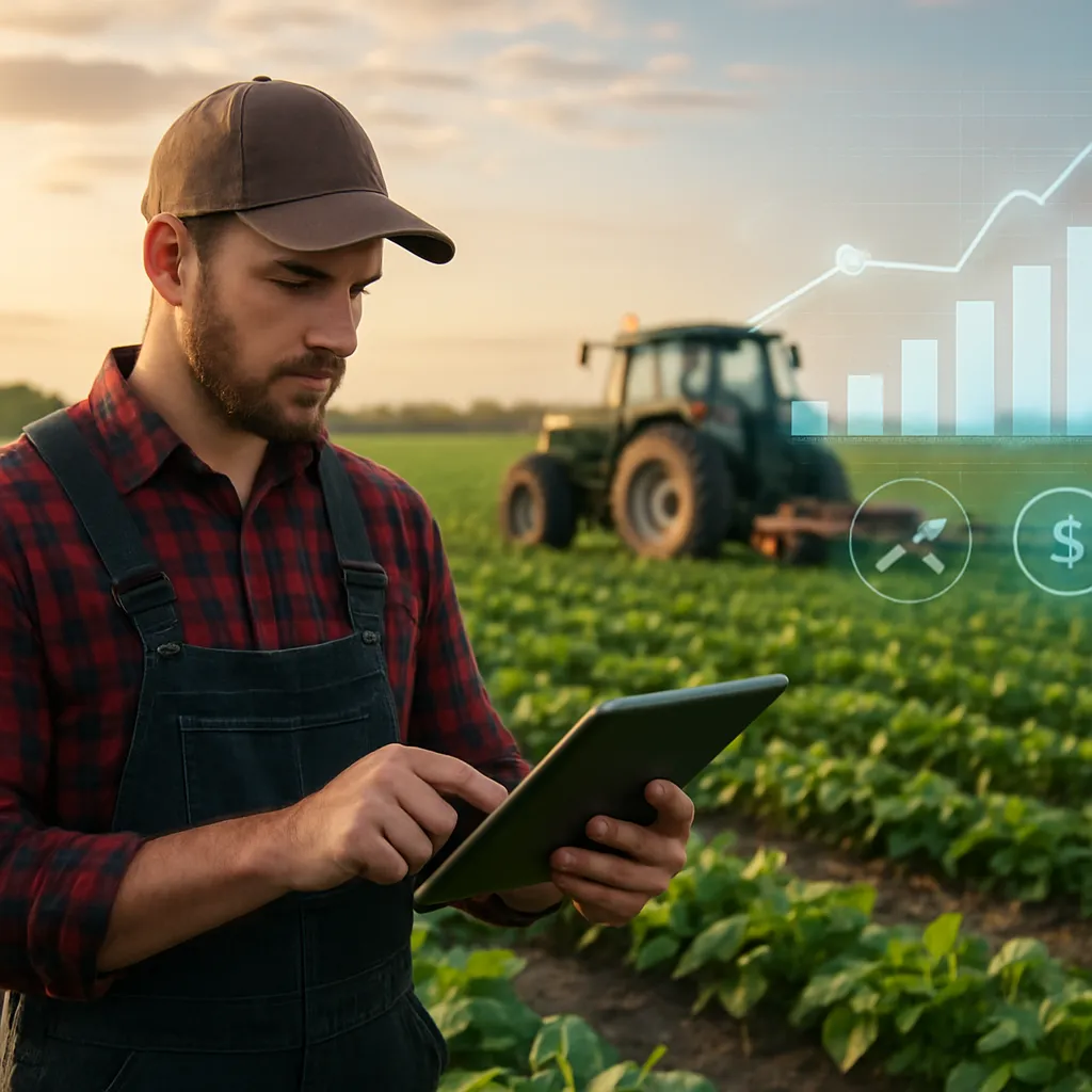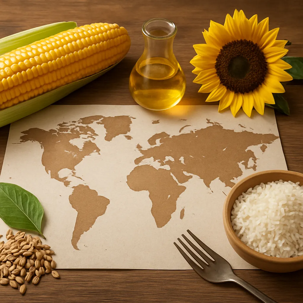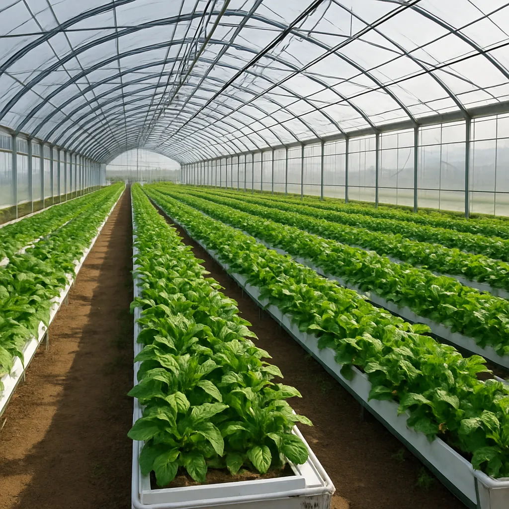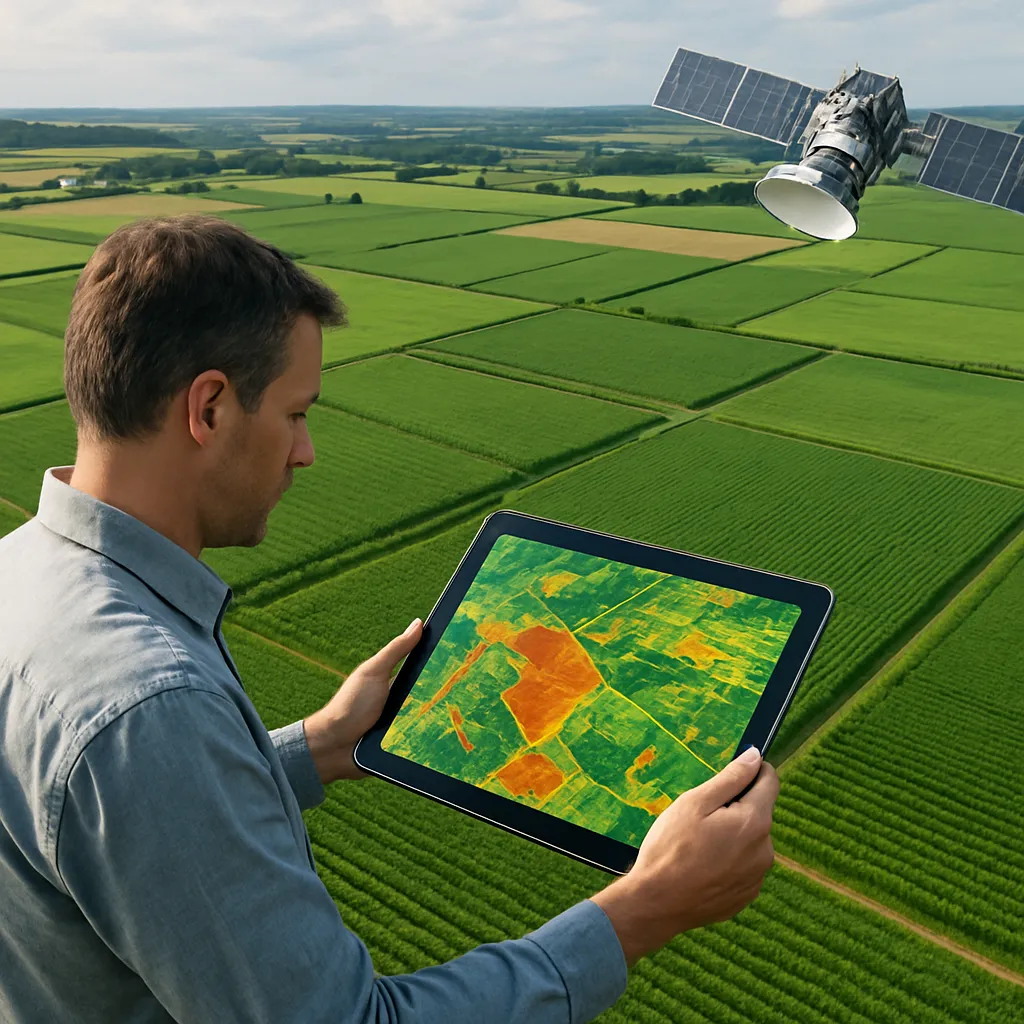
The integration of remote sensing technologies has revolutionized agricultural planning across the global market. By harnessing high-resolution satellite imagery and aerial sensors, stakeholders can monitor crop health, forecast yields, and optimize inputs with unprecedented precision. This synergy of technology and agronomy paves the way for a more sustainable and resilient food production system.
Precision Crop Monitoring and Management
Remote sensing platforms collect multispectral and hyperspectral data, enabling agronomists to distinguish between healthy and stressed vegetation. These datasets feed into sophisticated data analytics engines that assess plant vigor, nutrient deficiencies, and pest infestations early in the season.
Key Technologies:
- Multispectral Satellite Cameras – capture visible and near-infrared bands to compute vegetation indices.
- Unmanned Aerial Vehicles (UAVs) – offer high-resolution imagery for targeted scouting.
- Thermal Sensors – detect canopy temperature variations, indicating water stress.
By integrating time-series imagery, farmers can track phenological stages and intervene precisely when issues arise. Variable rate applications of fertilizers and pesticides become possible, reducing input costs and environmental impact. In regions where labor is scarce, automated triggers based on real-time alerts ensure that critical actions, such as irrigation or pest control, are executed without delay.
Water Resource Optimization and Soil Health
Water scarcity is becoming a limiting factor for agriculture worldwide. Remote sensing allows for accurate mapping of soil moisture distribution, enabling optimized irrigation schedules and conservation strategies.
Approaches to Water Management:
- Microwave Radiometry – penetrates soil to measure moisture content at different depths.
- Normalized Difference Water Index (NDWI) – derived from optical imagery to infer surface water presence.
- Soil Texture Classification – uses spectral signatures to determine water retention capacity.
With these tools, farmers can implement precision irrigation zones rather than blanket watering. This not only conserves water but also limits nutrient leaching, preserving soil structure and fertility. Regions facing prolonged droughts benefit from the ability to predict soil moisture deficits weeks in advance, allowing policymakers to allocate emergency resources or adjust planting calendars accordingly.
Market Forecasting and Supply Chain Efficiency
Understanding crop performance at scale contributes to more accurate supply-and-demand models. Remote sensing-derived yield estimates inform commodity traders, millers, and exporters, reducing uncertainty and price volatility in the global marketplace.
Applications in Trade and Logistics:
- Yield Prediction Models – combine historical yield data with current-season imagery to forecast production volumes.
- Storage Monitoring – employ thermal and hyperspectral sensors to track grain moisture and detect spoilage.
- Transportation Optimization – utilize geospatial intelligence to plan efficient shipping routes and reduce transit times.
Crop insurance providers leverage satellite-based loss assessments to process claims faster and more accurately. When natural disasters strike, insurers can quantify the extent of damage remotely, minimizing the risk of fraud and ensuring farmers receive timely compensation. This level of transparency strengthens trust among all players in the supply chain.
Climate Change Adaptation and Risk Assessment
As extreme weather events become more frequent, agricultural planners need robust tools for risk mitigation. Remote sensing supports climate-smart agriculture by providing long-term datasets that reveal shifting weather patterns and emerging hotspots of vulnerability.
Risk Assessment Strategies:
- Flood and Drought Mapping – track the onset, duration, and intensity of hydrological extremes.
- Land Degradation Monitoring – identify areas prone to erosion and desertification.
- Microclimate Analysis – leverage high-resolution data to design localized adaptation measures.
Governments and international agencies use these insights to develop insurance schemes, emergency response plans, and resource allocation strategies. By predicting regions likely to suffer yield declines, stakeholders can invest in drought-resistant seed varieties or construct water storage infrastructure in advance.
Future Directions and Technological Trends
The evolution of remote sensing is marked by the continuous miniaturization of sensors and the proliferation of small satellite constellations. These developments promise near-real-time monitoring at centimeter-level resolution for entire continents.
- Artificial Intelligence Integration – advanced machine learning algorithms will automate feature extraction and anomaly detection, further reducing response times.
- Internet of Things (IoT) Convergence – ground-based sensors will complement aerial data, creating a comprehensive network of agronomic intelligence.
- Blockchain for Traceability – geotagged imagery will be linked to immutable records, enabling end-to-end traceability from field to fork.
As remote sensing becomes more accessible and cost-effective, smallholder farmers in developing regions will also benefit. Crowdsourced data platforms, combined with open-access satellite imagery, are democratizing access to geospatial tools. This trend fosters inclusive growth and supports global efforts to eradicate hunger.
Collaborative Models and Stakeholder Engagement
Maximizing the benefits of remote sensing in agriculture requires collaboration between technology providers, research institutions, and farming communities. Public-private partnerships can accelerate innovation and ensure that solutions are tailored to local needs.
Key Collaboration Mechanisms:
- Data Sharing Consortia – enable stakeholders to pool datasets for more robust analyses.
- Capacity Building Programs – train extension agents and farmers in interpreting remote sensing products.
- Policy Frameworks – establish standards for data privacy, cost-sharing, and open-access licensing.
By fostering a collaborative ecosystem, the agricultural sector can harness remote sensing to achieve higher crop yields, improved resource efficiency, and stronger market resilience. This integrated approach lays the foundation for a more secure and prosperous future for farmers and consumers worldwide.