How space technology aids global agricultural development is a topic of increasing importance as the world faces challenges related to food security, climate change, and sustainable farming practices. The integration of space technology into agriculture has the potential to revolutionize the way we monitor, manage, and optimize agricultural practices, ultimately leading to increased productivity and sustainability. This article explores the various ways in which space technology is being utilized in global agriculture, focusing on satellite imagery, precision farming, and data analytics.
Satellite Imagery and Remote Sensing
Satellite imagery and remote sensing technologies have transformed the agricultural landscape by providing farmers and researchers with critical data about crop health, soil conditions, and environmental factors. These technologies allow for the collection of vast amounts of data over large areas, enabling more informed decision-making.
Monitoring Crop Health
One of the primary applications of satellite imagery in agriculture is the monitoring of crop health. Satellites equipped with multispectral and hyperspectral sensors can capture images in different wavelengths, allowing for the assessment of plant health and vigor. By analyzing these images, farmers can identify areas of stress, disease, or nutrient deficiency in their crops.
For instance, the Normalized Difference Vegetation Index (NDVI) is a widely used metric derived from satellite imagery that helps in assessing vegetation health. NDVI values can indicate whether crops are thriving or suffering, enabling farmers to take timely action to address issues before they escalate.
Soil and Water Management
In addition to monitoring crop health, satellite technology plays a crucial role in soil and water management. Remote sensing can provide valuable information about soil moisture levels, which is essential for effective irrigation management. By understanding soil moisture dynamics, farmers can optimize their irrigation schedules, reducing water waste and improving crop yields.
Furthermore, satellite data can help in identifying areas prone to erosion or salinization, allowing farmers to implement preventive measures. This proactive approach to soil management is vital for maintaining soil health and ensuring long-term agricultural productivity.
Precision Farming and Data Analytics
Precision farming, also known as precision agriculture, is an innovative approach that leverages technology to enhance agricultural efficiency and sustainability. By integrating satellite data with other technologies such as GPS, IoT devices, and drones, farmers can make data-driven decisions that optimize resource use and minimize environmental impact.
Optimizing Resource Use
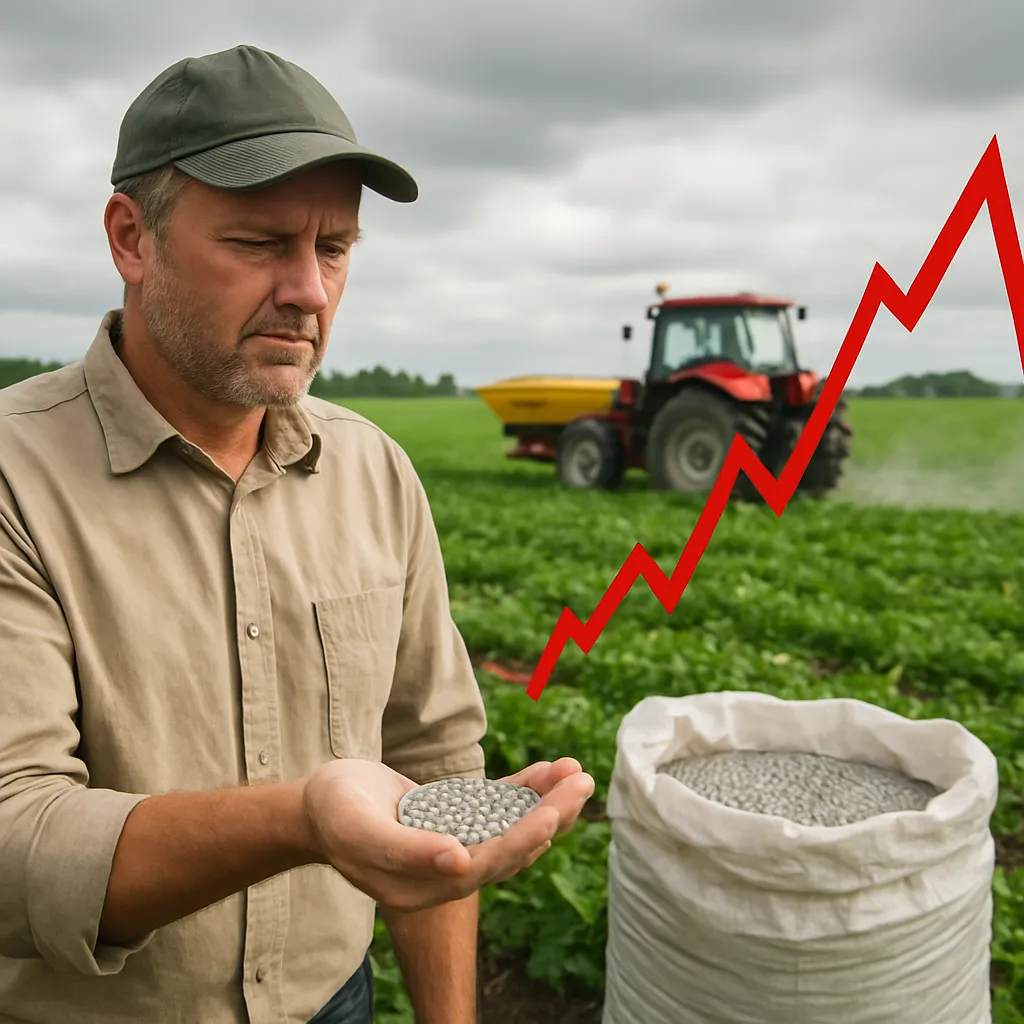
One of the key benefits of precision farming is the ability to optimize resource use, including water, fertilizers, and pesticides. By analyzing satellite data, farmers can identify specific areas within their fields that require different treatment levels. For example, instead of applying fertilizers uniformly across an entire field, farmers can use variable rate application techniques to apply fertilizers only where needed, reducing costs and minimizing environmental impact.
This targeted approach not only improves crop yields but also contributes to sustainable farming practices by reducing chemical runoff and preserving soil health. Additionally, precision farming can help farmers adapt to changing climate conditions by providing insights into optimal planting times and crop varieties suited to specific environmental conditions.
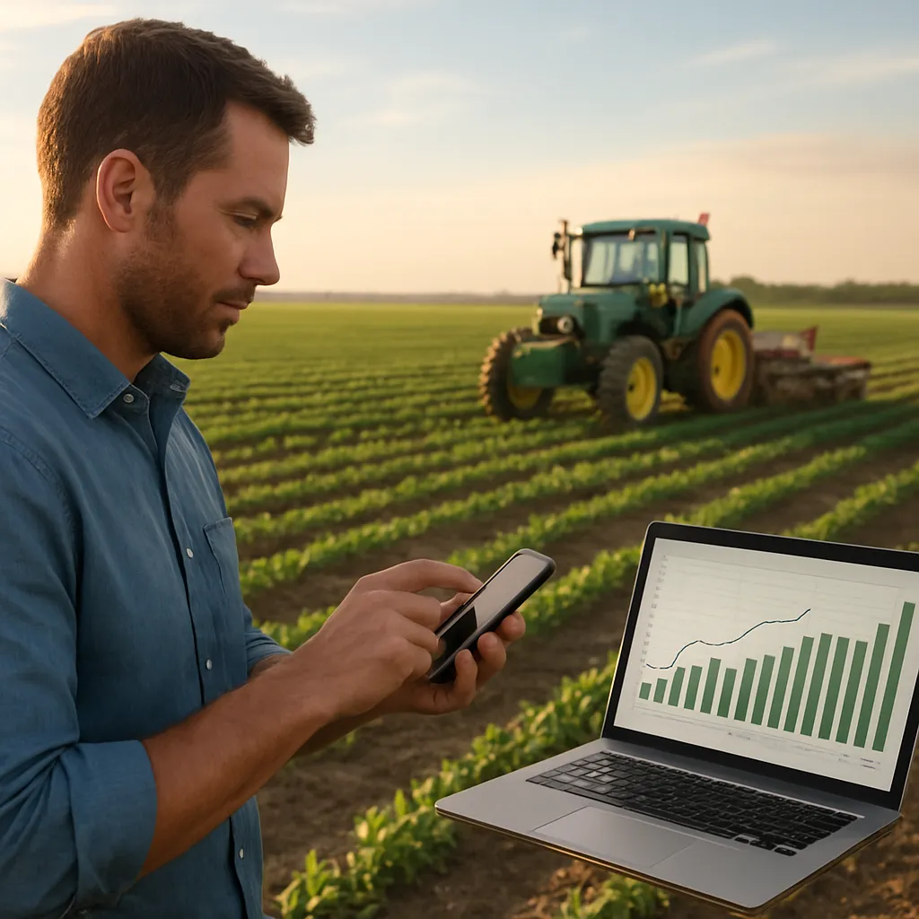
Data-Driven Decision Making
The integration of satellite technology with data analytics enables farmers to make informed decisions based on real-time data. By utilizing predictive analytics, farmers can forecast crop yields, assess market trends, and plan for potential challenges such as pest outbreaks or adverse weather conditions.
Moreover, the use of machine learning algorithms in conjunction with satellite data can enhance the accuracy of predictions and recommendations. This data-driven approach empowers farmers to be proactive rather than reactive, ultimately leading to more resilient agricultural systems.
Challenges and Future Prospects
While the integration of space technology into agriculture offers numerous benefits, it is not without challenges. Access to technology, data literacy, and infrastructure limitations can hinder the widespread adoption of these innovations, particularly in developing regions.
Addressing Accessibility Issues
One of the significant challenges is ensuring that smallholder farmers have access to satellite data and the necessary tools to utilize it effectively. Many small-scale farmers lack the resources to invest in advanced technologies or may not have the technical knowledge to interpret satellite data. Bridging this gap is essential for maximizing the potential of space technology in agriculture.
Governments, NGOs, and private sector organizations can play a crucial role in providing training, resources, and support to smallholder farmers. Initiatives that promote collaboration between technology providers and farmers can help create tailored solutions that address the specific needs of different agricultural communities.
Future Innovations
The future of space technology in agriculture looks promising, with ongoing advancements in satellite technology, data analytics, and artificial intelligence. As satellite systems become more sophisticated and accessible, the potential for real-time monitoring and decision-making will continue to grow.
Emerging technologies such as small satellites and CubeSats are making it easier and more cost-effective to collect high-resolution data. Additionally, the integration of blockchain technology can enhance traceability and transparency in agricultural supply chains, further supporting sustainable practices.
As the global population continues to rise, the demand for food will increase, making it imperative to adopt innovative solutions that enhance agricultural productivity while minimizing environmental impact. Space technology will undoubtedly play a pivotal role in shaping the future of global agriculture, enabling farmers to meet the challenges of tomorrow.
Conclusion
The integration of space technology into global agricultural development represents a significant leap forward in addressing the challenges of food security, sustainability, and climate change. Through satellite imagery, precision farming, and data analytics, farmers can optimize their practices, improve crop yields, and make informed decisions that benefit both their livelihoods and the environment.
While challenges remain, the potential for innovation and collaboration in this field is immense. By investing in technology, training, and infrastructure, we can empower farmers worldwide to harness the power of space technology, ultimately leading to a more sustainable and resilient agricultural future.